ME Water Resources & GIS - Course, Fees, Eligibility, Top Colleges, Top Careers
Course Description
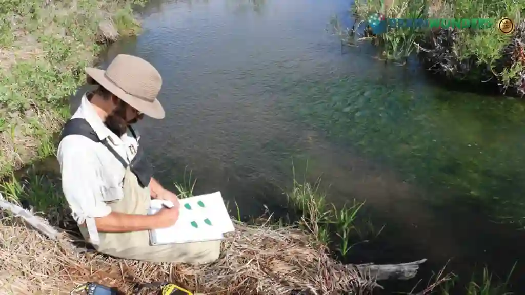
The ME (Master of Engineering) in Water Resources & GIS (Geographic Information Systems) is a specialized postgraduate program that focuses on the management and analysis of water resources using GIS technology. This program combines the principles of water resources engineering with the application of GIS to address the complex challenges in water management and planning. The curriculum of the ME in Water Resources & GIS program typically covers a wide range of subjects such as hydrology, water quality, groundwater management, irrigation systems, watershed management, and environmental impact assessment. Students gain a deep understanding of the principles and practices of water resources engineering and develop expertise in the use of GIS tools and techniques for spatial analysis and modeling.
The program emphasizes hands-on learning and practical applications. Students have the opportunity to work with real-world datasets, conduct field studies, and use advanced software for water resources modeling and GIS analysis. They learn to collect, analyze, and interpret spatial data to make informed decisions related to water resource management, flood mapping, drought assessment, and environmental impact assessment. The ME in Water Resources & GIS program also focuses on research and innovation. Students are encouraged to undertake research projects in collaboration with industry or government organizations to address specific water management challenges. They may have the opportunity to publish their research findings in scientific journals or present them at conferences.
Eligibilty
- Bachelor's Degree: Applicants must have a Bachelor's degree in Civil Engineering, Environmental Engineering, Water Resources Engineering, or a related field from a recognized university or institution.
- Minimum Grades: Candidates are generally required to have a minimum aggregate percentage or grade point average (GPA) in their undergraduate studies. The specific minimum requirement may vary between institutions.
- Entrance Exam: Some institutions may require candidates to qualify in entrance exams such as GATE (Graduate Aptitude Test in Engineering) or institution-specific entrance exams. The exam and minimum required scores may vary between institutions.
- Work Experience: While not always mandatory, some institutions may prefer candidates with relevant work experience in the field of water resources engineering, GIS, or related domains.
- Statement of Purpose (SOP): Applicants may need to submit a Statement of Purpose that highlights their motivations, academic background, career goals, and how the ME in Water Resources & GIS program aligns with their aspirations.
- Letters of Recommendation: Some institutions may ask for letters of recommendation from professors, employers, or professionals in the field. These letters assess the candidate's academic abilities, work ethic, and potential for success in the program.
- English Language Proficiency: Candidates whose first language is not English may be required to demonstrate English language proficiency through tests such as TOEFL (Test of English as a Foreign Language) or IELTS (International English Language Testing System).
- Specific Requirements: Institutions may have additional requirements, such as prerequisite coursework in mathematics, fluid mechanics, or environmental sciences. These requirements may vary between institutions.

Colleges
Which are the best colleges to attend for ME Water Resources & GIS?
The ultimate career guidance platform that will give your success story the boost it needs.