How to become a Geodetic Surveyor
Overview, Courses, Exam, Colleges, Pathways, Salary
Overview
Who is Geodetic Surveyor ?
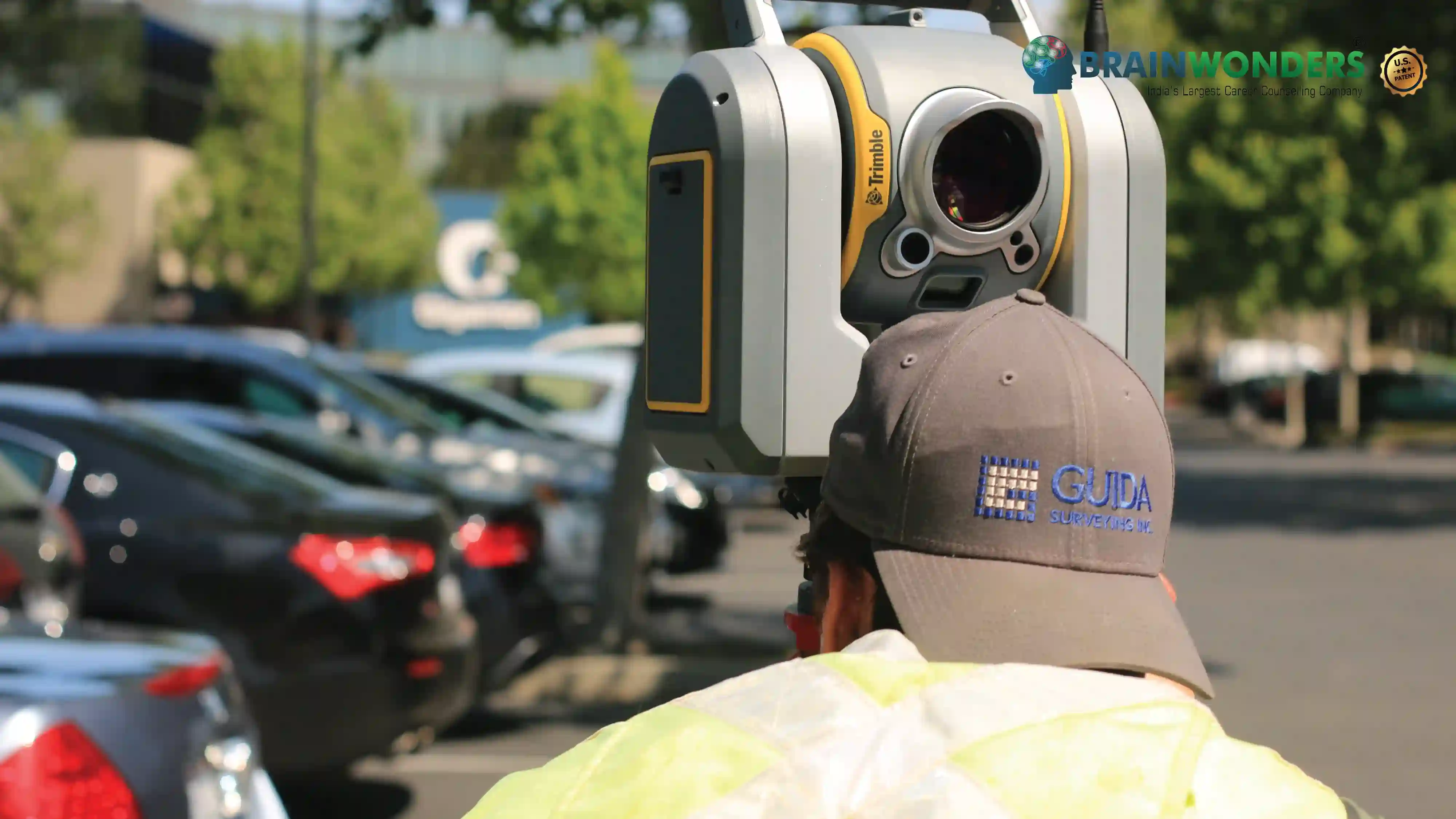
Geodetic Surveyors measure large areas of the Earth's surface using sensors and high-accuracy technology, consisting of aerial and satellite observations, global navigation satellite systems (GNSS), light detection and ranging (LIDAR), or related sources to identify, verify, and store data of specific earth positions, collect details about Earth's geological features such as land contours and elevations, and obtain accurate measurements.
Typical day at work
What does Geodetic Surveyor do?
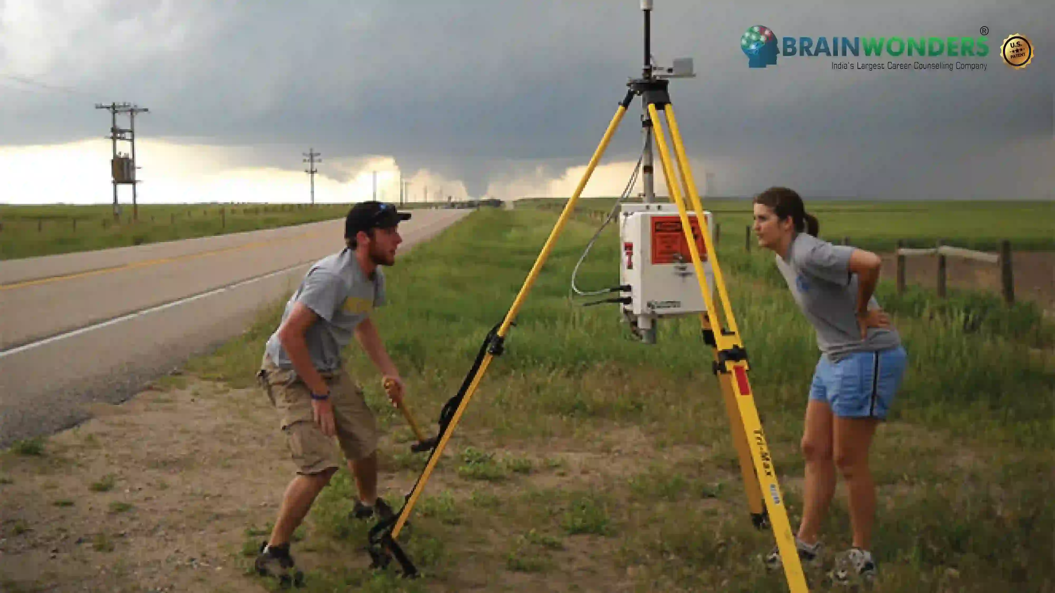
- Calculate the precise location of the horizontal and vertical points on Earth's surface
- Maintain databases of geodetic and related records, comprising data concerning the coordination, description, or quality assurance
- Verify statistical precision of survey data recently collected
- Conduct surveys to specify exact locations, points of measurements, elevations, lines, areas, volumes, contours, or other land characteristics
- Calculate horizontal and vertical control network coordinates, using direct leveling or other geodetic survey methods, like triangulation, trilateration and traversing, to determine Earth's surface characteristics
- Analyze control or survey data to confirm project requirements, or land survey criteria are complied
- Plan, direct, and supervise work of geodetic survey staff, and provide required technical guidance
- Assess the control data quality to establish the requirement for additional survey data for engineering, construction or other projects
- Appeal extra survey data when errors occur in field collection or engineer surveying specifications are not preserved
- Distribute collected geodetic data to government bodies or the general public
- Review current requirements, regulations or equipment used, recommend improvements or upgrades if necessary
- Read existing literature, speak to colleagues, continue education, or take part in technical associations or seminars to keep track of technology, equipment, or systems developments
- Calculate, retrace, or modify current survey features like road alignments, property boundaries, utilities, controls and other surveys to suit ground elevation-dependent grids, or geodetic grids, and to confirm accuracy and consistency of data used in engineering, surveying, or construction projects
- Monitor progress and draft technical reports
- Give training and interpret the methods or procedure used for observing and testing geodetic and plane coordinate controls
- Determine the orientation of land tracts, including location, borders, size and shape, using theodolites, electronic distance measuring equipment, satellite positioning equipment, land information systems, or other geodetic surveying equipment
- Be a part of creating maps.
Abilities and Aptitude needed
What are the skills, abilities & aptitude needed to become Geodetic Surveyor?
- Geodetic researcher needs to understand highly technical material such as raw data and scientific literature. They regularly use complex mathematical equations, statistics, formulas, and computer software in their work. They should also have knowledge in the field of geography, physics, and another related field.
- Since the work includes practicality, it requires precision, and eye for detail, accuracy, and careful data monitoring. In addition, they must be able to manage time and prioritise tasks effectively while maintaining the quality of work.
- They tend to be investigative, intellectual, reflective, and inquisitive individuals. In addition, they are curious, systematic, scientific, logical, rational, and analytical.
- They should be able to communicate effectively, both verbally and in writing, their survey processes and findings. In addition, they usually work in or lead teams and must be able to motivate and direct other team members; thus, interpersonal, team and project management, and leadership skills are necessary.
- They must be able to think critically and solve issues in order to discover answers to complex problems and draw conclusions from survey data using solid reasoning and judgement.
Pathways
How to become an Geodetic Surveyor?
Entrance Exam
Entrance Exam for Geodetic Surveyor ?
Courses
Which course I can pursue?
No more result found
We try to search what you are looking, but not found any match to it
No more result found
We try to search what you are looking, but not found any match to it
No more result found
We try to search what you are looking, but not found any match to it
No more result found
We try to search what you are looking, but not found any match to it
No more result found
We try to search what you are looking, but not found any match to it
No more result found
We try to search what you are looking, but not found any match to it
No more result found
We try to search what you are looking, but not found any match to it
Best Colleges
Which are the best colleges to attend to become an Geodetic Surveyor?
Industries
Which Industries are open for Geodetic Surveyor?
internship
Are there internships available for Geodetic Surveyor?
Career outlook
What does the future look like for Geodetic Surveyor?
Geodetic experts employ specialised technology such as sensors to comprehend and identify certain positions and locations on the ground and seek to collect precise and tangible data from it. Their work is to verify the data or the information they have found and save the data or the information as a record. Not only this, but they also tend to gather enough information concerning the geological features of this Earth-like the elevations on the land, the ditches, the contours, etc. All of this information is recorded in the documents, which is why they also need to do a lot of surveys and other technical aspects as a part of their work. Their work deals with a lot of precision as they need to work on the accuracy of the actual data.


The ultimate career guidance platform that will give your success story the boost it needs.