ME Remote Sensing and Geomatics - Course, Fees, Eligibility, Top Colleges, Top Careers
Duration 2 Years
Level PG
PG
Programme Masters
Study Mode Full Time
Course Description
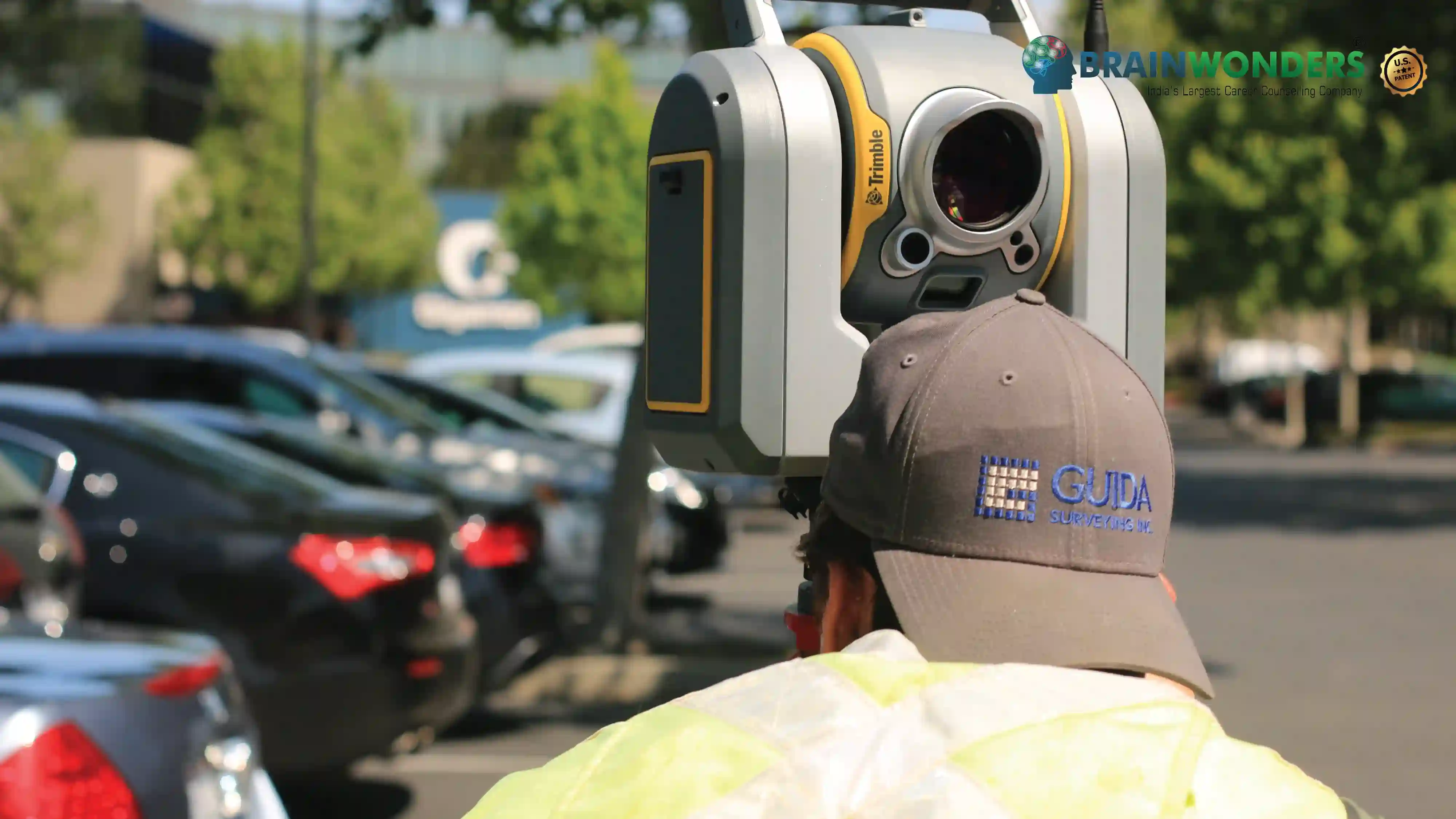
ME Remote Sensing and Geomaticscourse is to provide in-depth understanding of remote sensing, satellite image analysis, Geographic Information System (GIS) and Global Navigation Satellite System (GNSS) technologies and their applications in natural resources survey and monitoring including agriculture and soils, forestry and ecology, geology and mineral resources, water resources, marine resources, urban and regional planning, atmospheric studies and disaster management.
The course work consists of 4 core papers in technology area, 4 core papers in subject specialization, 1 core paper in research skill development and four choice based elective papers. Out of the 4 elective papers, 3 papers are in advanced geospatial technology such as Web Technology, Geodata Visualization, Statistics & Programming of Geodata, Natural Resources Management, Environmental Monitoring, and Climate Change Studies. In the fourth elective paper, a candidate needs to carry out a theme-specific interdisciplinary case study out of the 60 topics offered from 8 specializations. During the course, a candidate can opt for one of the following 8 specializations-
Agriculture & Soils
Forest Resources & Ecosystem Analysis
Geoinformatics
Geosciences
Marine & Atmospheric Sciences
Satellite Image Analysis & Photogrammetry
Urban & Regional Studies
Water Resources
Eligibilty
The candidate should have B. Tech./B.E. or equivalent degree in Civil Engineering/ Agricultural and Irrigation Engineering/ Geoinformatics with an aggregate score of 55% /60% from a UGC recognized university

Colleges
Which are the best colleges to attend for ME Remote Sensing and Geomatics?
The ultimate career guidance platform that will give your success story the boost it needs.