M.Sc. Remote Sensing and Geographic Information System - Course, Fees, Eligibility, Top Colleges, Top Careers
Duration 2 Years
Level PG
PG
Programme Masters
Study Mode Full Time
Course Description
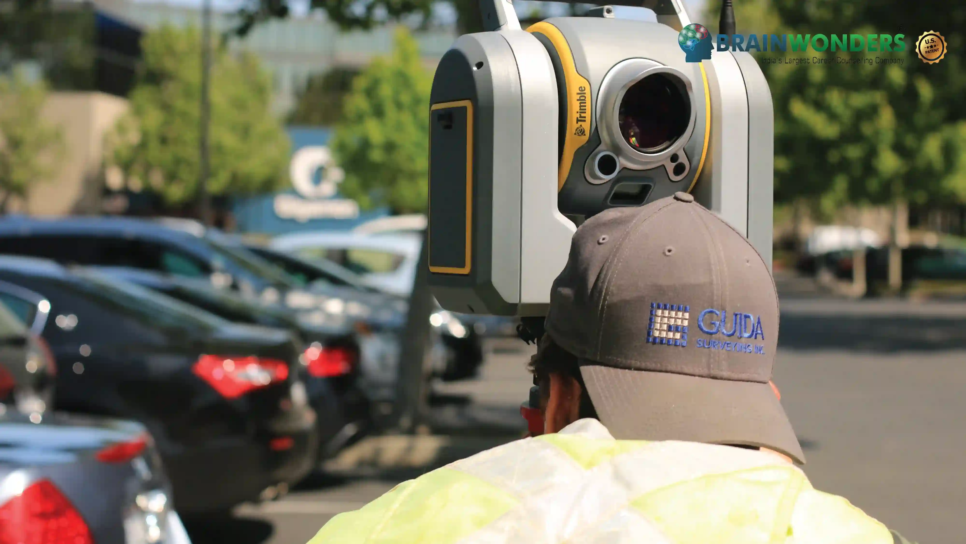
M.Sc. Remote Sensing and Geographic Information System is a 2 years full-time postgraduate course. The course aims at developing technical skills and understanding necessary to analyse geospatial data in order to face real-world problems in diverse areas such as food security, public health, or in improving our understanding about the carbon cycle. This course gives the opportunity to work in a variety of careers in environmental consultancy firms, government research institutes, software companies and related fields.
Eligibilty
The candidate should have completed Bachelor’s Degree in relevant faculty or discipline from a recognized university with Minimum of 50% marks in aggregate. Many colleges conduct Entrance exams for admission to this course.
Colleges
Which are the best colleges to attend for M.Sc. Remote Sensing and Geographic Information System?
The ultimate career guidance platform that will give your success story the boost it needs.