M.Tech Geographical Information System - Course, Fees, Eligibility, Top Colleges, Top Careers
Duration 2 Years
Level PG
PG
Programme Masters
Study Mode Full Time
Course Description
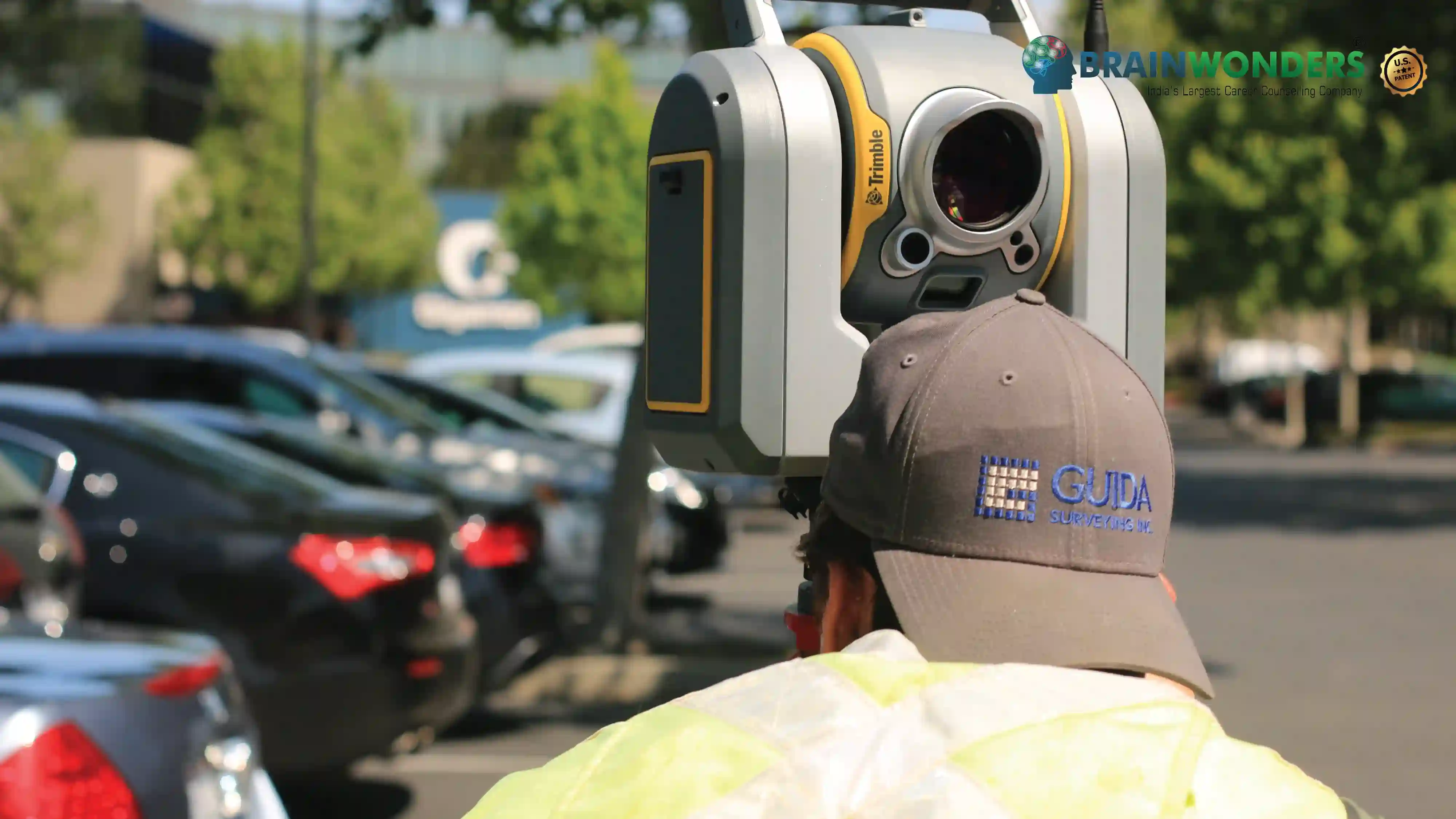
M.Tech Geographical Information System is a 2-year full-time program that concentrates on informatics systems used across the planet. The course imparts the students the understanding and knowledge of the skills necessary to facilitate the tools and techniques to the masses. The program covers the aspects surrounding the areas of remote sensing, typographical surveying, GPS Technology, GIS data and much more and provides a depth of knowledge in the concerned field, along with the characteristics and skills of analysis, assessing computational data, machine learning, genetic algorithms, reading the patterns and its recognition to name a few. M.Tech. Geoinformatics course renders candidates the skills of evaluating the data in hand, interpreting and converting it into a computational figure.
Eligibilty
The candidate should have completed B.E / B.Tech from a recognized university with a minimum of 60% marks in aggregate. Many colleges conduct Entrance exams and/or require a valid GATE score for admission to this course.
Colleges


