M.Tech Geoinformatics and Surveying Technology - Course, Fees, Eligibility, Top Colleges, Top Careers
Duration 2 Years
Level PG
PG
Programme Masters
Study Mode Full Time
Course Description
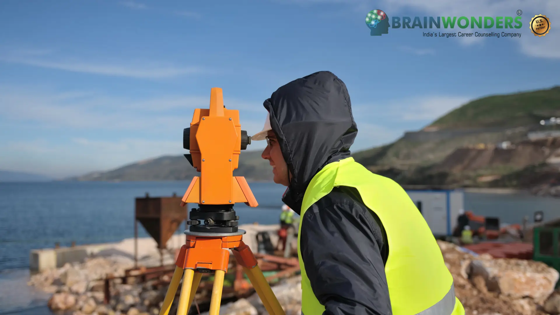
Master of Technology in Geoinformatics and Surveying Technology is a full-time 2-year programme. Geoinformatics, combines geospatial analysis and modeling, development of geospatial databases, information systems design, human-computer interaction and both wired and wireless networking technologies. Geoinformatics also uses Geocomputaion and Geovisualization for analysing Geoinformation with branches like Cartography, Geodesy, GIS systems, photogrametry, spatial analysis, etc. We have very well experienced faculty and well equipped laboratories to cater this course.The students of Computer Science and Engineering, Electronics and Telecommunication are quite interested to opt this course as they are well versed with one or the other subjects at their undergraduate level. Because of application domain knowledge Civil Engineering students also have very bright career opportunities after completion of this course. "
Eligibilty
The candidate should have completed B.E/B.TECH any relevant stream from a recognized university with Minimum of 50% marks in aggregate. Many colleges conduct Entrance exams for admission to this course.
Colleges


