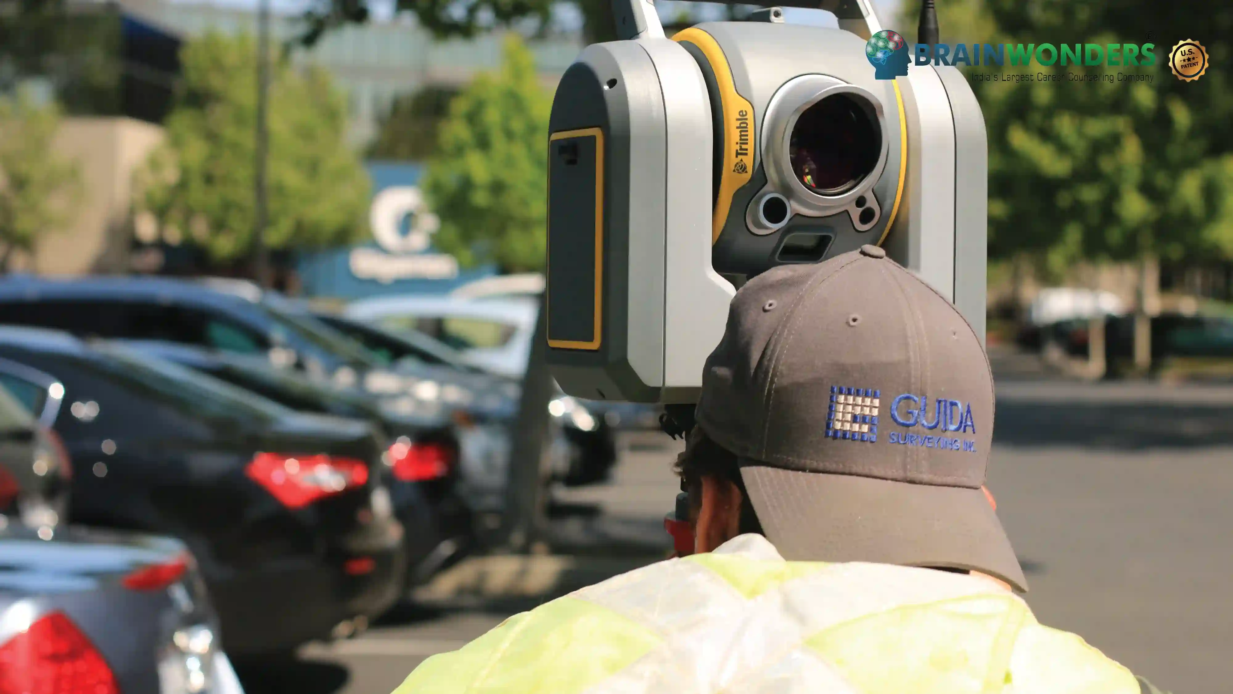
M.Tech Geomatics Engineering - Course, Fees, Eligibility, Top Colleges, Top Careers
Duration 2 Years
Level PG
PG
Programme Masters
Study Mode Full Time, Part Time
Course Description
Master of Technology in Geomatics Engineering, popularly known as Geo-Informatics, is a multidisciplinary course that is associated with informatics systems that are used across the globe. It refers to the application of mathematics, science and technology in order to study spatial or geographic information. It addresses the acquisition, analysis, modelling, management and presentation of geospatial information. The course includes subjects such as Database Management Systems, Remote Sensing, Spatial data analysis, programming languages, Big data, GPS, Geo-visualization.
Eligibilty
The candidate should have completed Bachelor’s Degree (B.E/B.Tech) in relevant faculty or discipline from a recognized university with a minimum of 60% marks in aggregate and a valid score in GATE. Many colleges conduct Entrance exams for admission to this course.
Colleges


