PG Diploma is Geodesy and Geoinformation - Course, Fees, Eligibility, Top Colleges, Top Careers
Duration 2 Years
Level PG
PG
Programme Diploma
Study Mode Full Time
Course Description
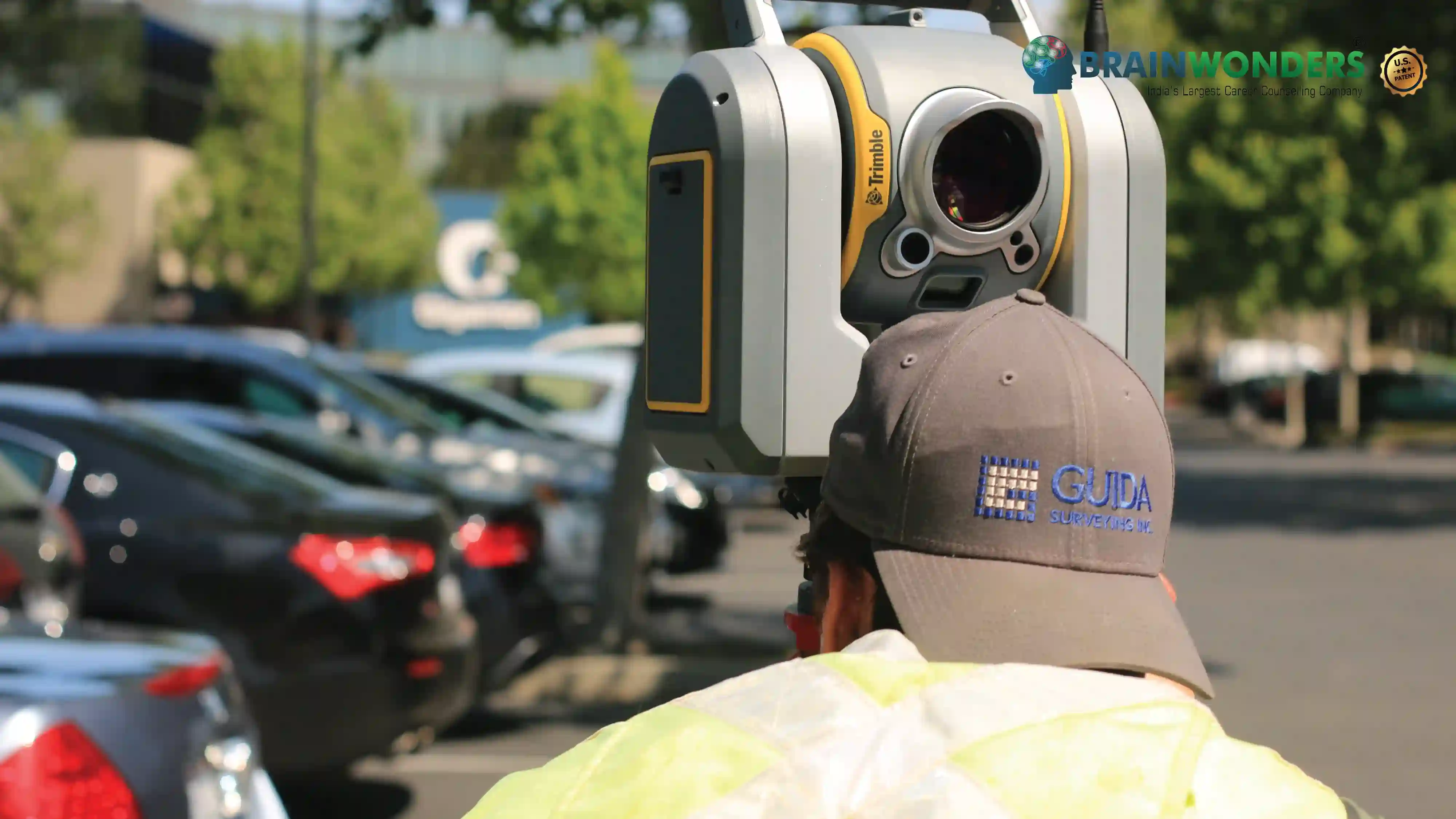
The study of Geodesy and Geoinformatics aims at delivering conceptual knowledge on the basics of cartography and geodesy. PG Diploma is Geodesy and Geoinformation demonstrates the fundamentals of Remote sensing process, GIS data integration, GPS, Dynamic mapping, Map production and Spatial Analysis. It diversifies radiation properties such as Thermal Infrared and electromagnetic radiations. It introduces the process of data capture-scanning, digitization and associated errors. It enhances graphical knowledge of candidates by introducing them to the concept of geographic visualization and image storage formats. Candidates can expertise their skills in exploration, digital mapping and in all basis of geo-information systems.
Eligibilty
The candidates should have passed a Master's Degree in Geoinformatics or Geodesy with atleast 50% in aggregate in subjects like Geography and Mathematics.


Colleges
Which are the best colleges to attend for PG Diploma is Geodesy and Geoinformation?
The ultimate career guidance platform that will give your success story the boost it needs.